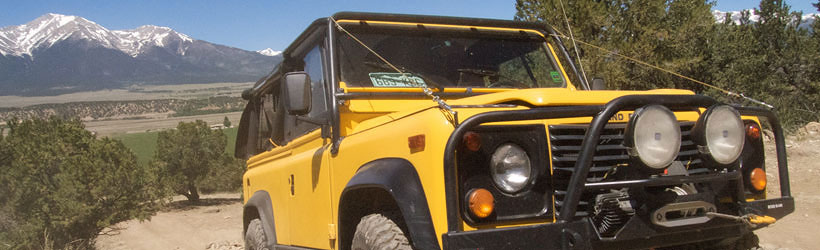
Presented below are Tour Companies that offer guided hiking trips and adventures in and near Buena Vista. Click on any name for more detailed information.
Buena Vista Hiking Guides & Outfitters
Search Buena Vista Hiking Guides & Outfitters
tour Results
Plot just the current page's results
Plot all results
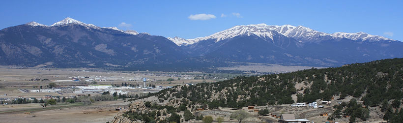
Buena Vista Hiking Trails
Search Buena Vista Hiking Trails
hiking Results
Plot just the current page's results
Plot all results

13 hiking Results
More Info Beaver Creek Trail #942
- 15.6 mile roundtrip
- 8 to 10 hours
- Intermediate
More Info Black Bear Trail
- 6 mile roundtrip
- 3 to 4 hours
- Difficult
More Info Bushnell Lakes Trail
- 11 mile roundtrip
- 6 to 7 hours
- Difficult, Intermediate
More Info Cottonwood Trail
- 6.6 mile roundtrip
- 3 to 4 hours
- Difficult
More Info Dodgeton Trail - #1302
- 5 miles one way
- Intermediate
More Info Fowler Trail
- 1.8 mile roundtrip
- 1 hour
- Intermediate
More Info Music Pass Trail
- 2.4 mile roundtrip
- 1 to 1.5 hours
- Easy
More Info North Fork Trail #1309
- 4.5 miles one way
- Easy
More Info North Fork Trail No. 1309
- 4.5 miles
- 2.5 - 3.5 hours
- Easy
More Info North Lone Pine Trail
- 8.8 mile roundtrip
- 4.5 to 5.5 hours
- Intermediate
- Loading
Your request has been processed, thank you!
We also have the following visitor guides in Colorado. Click on any additional guides you would like to receive.


Chaffee County Central Colorado
Chaffee County

Colorado Springs Central Colorado
Colorado Springs

Grand Lake Rocky Mountain National Park
Grand Lake

Red River Northern New Mexico
Red River

Farmington Northwestern New Mexico
Farmington

South Fork Southwestern Colorado
South Fork

Palisade, Colorado Western
Palisade, Colorado

Visit Moffat County Northwestern Colorado
Visit Moffat County

Ski Utah Utah
Ski Utah
We also have visitor guides available in states highlighted in blue below. Click on any state to see what's available.
- Alaska
- Arizona
- California
- Canada
- Colorado
- Hawaii
- Idaho
- Louisiana
- Michigan
- Montana
- Nevada
- New Mexico
- Ohio
- Oregon
- Texas
- Utah
- Washington
- Wyoming