Contact Info
- Phone:
- 970-522-5070
Basics
- Location:
- About 15 miles south of Sterling
- Type:
- Historical Site
- Price:
- Free


Full information on Sterling Tourist Attractions, Scenic Drives and other easy vacation activities…
Searchable listings of Sterling hotels, motels, resorts, bed & breakfast, and more.
Searchable listings of Sterling RV parks and campgrounds.
Searchable listings of Sterling restaurants, bars, diners, and more.

Use our easy Lodging Search to find exactly the type of accommodation you are looking for at the right price.
Search NowRequest Free Travel brochures for Sterling.
Transportation companies, driving directions and more for Sterling.
Sterling weather report, historic temperatures and climate info,…
Searchable lists of Sterling tourism offices and other helpful government agencies.
Explore destinations near Sterling.


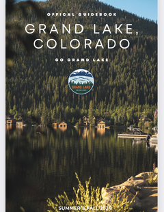
Below are the Free Visitor Guides for Sterling. More Visitor Guides are available in Colorado. Click here to view them all!


We also have the following visitor guides in Colorado. Click on any additional guides you would like to receive.


We also have visitor guides available in states highlighted in blue below. Click on any state to see what's available.
Switch to Mobile Browser Mode
We offer a compact version of Go-Colorado for mobile users, allowing you to access just the information you need on the road. Of course, you can still use the full version of Go-Colorado on your mobile device just as you can on your desktop.

