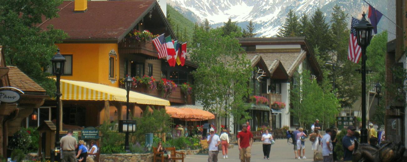
A network of state highways and local roads weave through the peaks of the Rockies, and many of them are accessible from Vail. During winter and spring months many passes are closed, but in summer there are a number of gorgeous routes available, some of them nationally designated scenic byways.
Vail Scenic Drives
Search Vail Scenic Drives
scenic drive Results
Plot just the current page's results
Plot all results

0 scenic drive Results
- Loading
Your request has been processed, thank you!
We also have the following visitor guides in Colorado. Click on any additional guides you would like to receive.


Chaffee County Central Colorado
Chaffee County

Colorado Springs Central Colorado
Colorado Springs

Grand Lake Rocky Mountain National Park
Grand Lake

Red River Northern New Mexico
Red River

Farmington Northwestern New Mexico
Farmington

South Fork Southwestern Colorado
South Fork

Palisade, Colorado Western
Palisade, Colorado

Visit Moffat County Northwestern Colorado
Visit Moffat County

Ski Utah Utah
Ski Utah
We also have visitor guides available in states highlighted in blue below. Click on any state to see what's available.
- Alaska
- Arizona
- California
- Canada
- Colorado
- Hawaii
- Idaho
- Louisiana
- Michigan
- Montana
- Nevada
- New Mexico
- Ohio
- Oregon
- Texas
- Utah
- Washington
- Wyoming