


Weather information for the Estes Park area is provided below. Average temperatures, climate details and current forecasts are included!
Climate
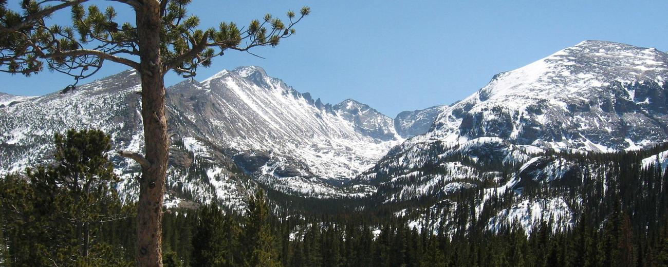
Estes Park has a cool but pleasant climate tempered by its altitude and location on the east slope of the Front Range. Summers are warm but rarely uncomfortably hot, cooled by frequent afternoon showers. The low humidity also helps keep the environment feeling cool. During winter the daytime temperature is usually above freezing, and snow melts within a couple of days.
| Jan | Feb | Mar | Apr | May | Jun | Jul | Aug | Sep | Oct | Nov | Dec | ||
| Avg. High | 39 | 41 | 46 | 53 | 62 | 73 | 79 | 77 | 70 | 59 | 46 | 40 | |
| Avg. Low | 18 | 19 | 23 | 27 | 35 | 42 | 47 | 45 | 39 | 31 | 24 | 18 | |
| Precipitation | 0.3 | 0.5 | 0.9 | 1.4 | 2.1 | 1.4 | 2.2 | 2.0 | 1.2 | 0.9 | 0.6 | 0.4 | |
Live weather is currently unavailable.
Please visit weather.gov for current and forecasted weather.
Overnight
Chance Snow Showers
Friday
Snow Showers Likely
Friday Night
Snow Showers
Saturday
Snow Showers Likely
Saturday Night
Slight Chance T-storms then Mostly Cloudy
Sunday
Mostly Sunny then Slight Chance Rain Showers
Detailed Forecast |
|
|---|---|
| Overnight | A chance of snow showers. Mostly cloudy. Low around 26, with temperatures rising to around 28 overnight. North wind around 0 mph. Chance of precipitation is 30%. |
| Friday | A chance of snow showers before noon, then snow showers likely and a slight chance of thunderstorms. Mostly cloudy. High near 43, with temperatures falling to around 40 in the afternoon. Northeast wind 0 to 9 mph. Chance of precipitation is 70%. Little or no snow accumulation expected. |
| Friday Night | Snow showers and a slight chance of thunderstorms. Cloudy. Low around 25, with temperatures rising to around 27 overnight. Northeast wind 0 to 8 mph. Chance of precipitation is 80%. New snow accumulation of 3 to 5 inches possible. |
| Saturday | Snow showers likely before noon, then snow showers likely and a slight chance of thunderstorms between noon and 2pm, then a slight chance of thunderstorms and rain and snow showers likely. Mostly cloudy, with a high near 45. East northeast wind 0 to 10 mph. Chance of precipitation is 70%. New snow accumulation of less than half an inch possible. |
| Saturday Night | A slight chance of thunderstorms and a slight chance of rain and snow showers before midnight. Mostly cloudy, with a low around 28. North wind 0 to 9 mph. Chance of precipitation is 20%. |
| Sunday | A slight chance of rain showers after noon. Mostly sunny, with a high near 60. Chance of precipitation is 20%. |
| Sunday Night | A chance of rain showers. Mostly cloudy, with a low around 37. Chance of precipitation is 40%. |
| Monday | A chance of showers and thunderstorms after noon. Mostly sunny, with a high near 59. |
| Monday Night | A slight chance of rain showers before midnight. Partly cloudy, with a low around 30. |
| Tuesday | A slight chance of showers and thunderstorms after noon. Mostly sunny, with a high near 56. |
| Tuesday Night | A slight chance of rain showers before midnight. Partly cloudy, with a low around 35. |
| Wednesday | A chance of showers and thunderstorms after noon. Mostly sunny, with a high near 65. |
| Wednesday Night | A slight chance of rain showers before midnight. Partly cloudy, with a low around 38. |
| Thursday | A chance of showers and thunderstorms after noon. Mostly sunny, with a high near 64. |

.jpg)

